High-Frequency Radar: Supporting Critical Coastal Operations with Real-time Surface Current Data
3-Second Blueprint (English)
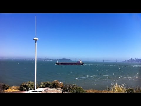
- Two coastal HF radar sites map ocean surface currents hourly across hundreds of square miles beyond the horizon.
- Ground-wave radio signals follow Earth's curvature and use Doppler shifts to resolve complex coastal eddies in real time.
- NOAA integrates IOOS radar networks into oil-spill trajectory models despite RF interference and a 2–3 km near-shore gap.
HF Doppler radarIOOS coastal networkSpill trajectory modelingSurface current mapping
3-Sekunden-Fazit (Deutsch)
- Schon zwei Küsten-HF-Radaranlagen kartieren Meeresoberflächenströmungen stündlich über hunderte Quadratmeilen.
- Bodenwellen folgen der Erdkrümmung hinter den Horizont und messen per Doppler-Effekt komplexe Küstenwirbel in Echtzeit.
- Die NOAA speist IOOS-Radardaten in Ölteppich-Ausbreitungsmodelle ein – trotz 2–3 km Nahbereichslücke und Funkstörungen.
HF-DopplerradarIOOS-KüstennetzwerkÖldrift-ModellierungStrömungskartierung
Note / Hinweis: Blueprints are AI-generated educational summaries (0% Politics · 0% Religion · 0% Brainrot) and do not constitute medical, legal, or financial advice. / KI-generierte Zusammenfassung zu Bildungszwecken – ersetzt keine medizinische, rechtliche oder finanzielle Fachberatung.